 Gadgets
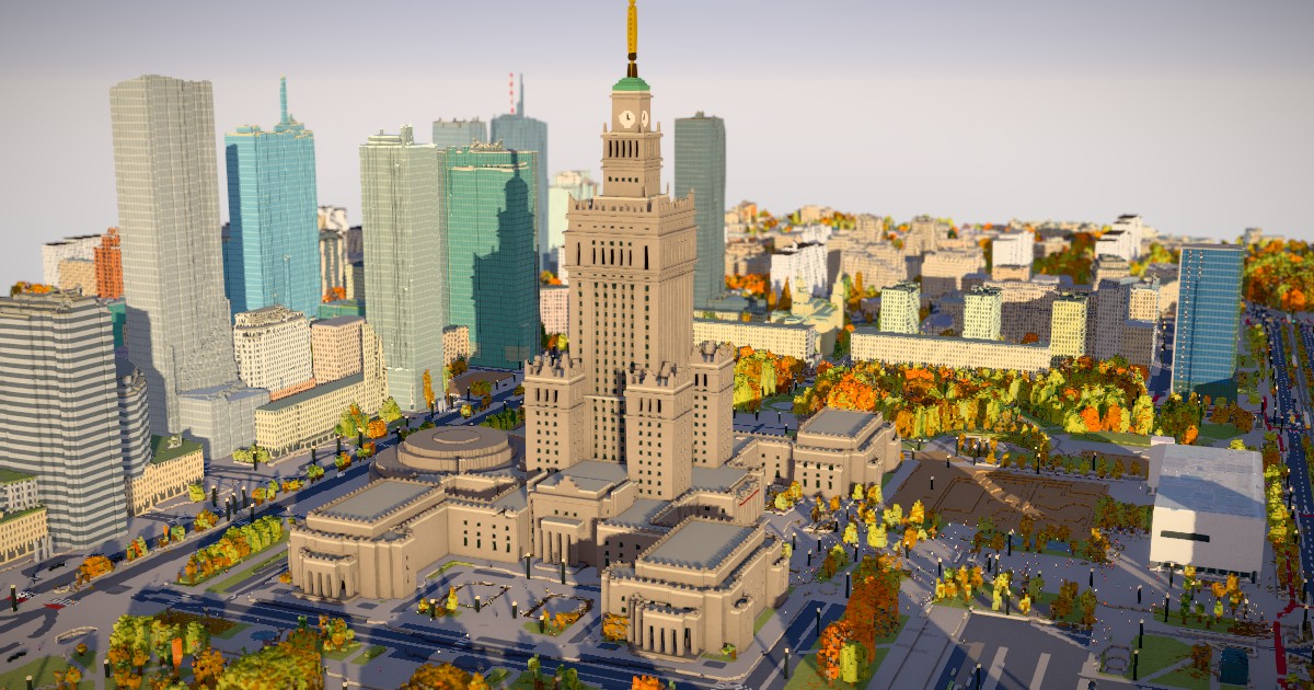
Show HN: Warsaw in voxels – an interactive 3D map of the city centre
A developer has created an interactive 3D map of Warsaw's city centre using voxels and open datasets, allowing users to explore the city in different times of day and weather, and even control pedestrians. The map is built using OpenStreetMap, GUGiK, and Warsaw's city tree database, and is available on GitHub as open-source code. The map is best viewed on desktop, but is also usable on mobile devices, although the initial load can take a while. Users can interact with the map by changing the date, time of day, and weather, and can even click on pedestrians to control them. The map also includes features such as buildings, streets, sidewalks, tram tracks, and individual tree species with seasonal foliage. The developer invites others to reuse the code as they wish.
Read the full article at p.migdal.pl →